Williamstown Ag Commission Questions Housing ProposalBy Stephen Dravis, Williamstown Correspondent
11:46PM / Thursday, December 06, 2012 | |
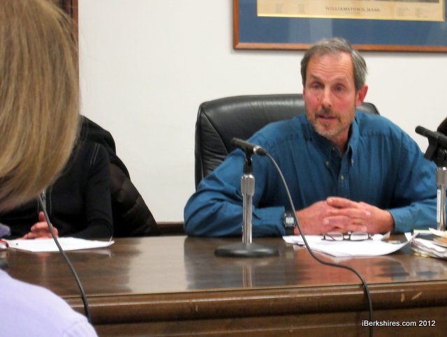
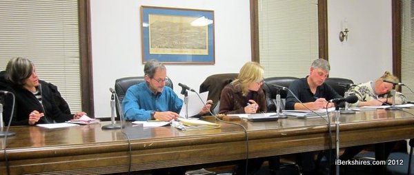 The Agriculture Commission pointed out its purpose was to preserve farmland such as the Lowry property. The Agriculture Commission pointed out its purpose was to preserve farmland such as the Lowry property. |
|
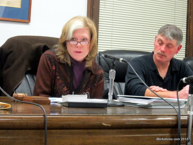
Agricultural Commission Chairwoman Beth Phelps said the commission needs more data on the Lowry property.
|
WILLIAMSTOWN, Mass. — The town's Agricultural Commission on Thursday evening voiced concerns about a plan to develop affordable housing on 30 acres of town-owned land, most of which is currently being farmed.
Before ultimately deciding to continue its discussion to a later date, the commission asked a series of pointed questions in a lengthy exchange with the chairman of the town's Affordable Housing Committee.
"The Ag Commission, when it was voted to exist, one of its duties was to work to preserve farmland," Ag Commission Chairwoman Beth Phelps said. "I think we need to do more data gathering ... before we jump to the Lowry property."
The Lowry property, a 30-acre tract off Stratton Road, is currently classified as land in conservation and controlled by the town's Conservation Commission. That panel leases the property to resident Kim Wells, who grows hay on the land to feed his livestock at East Mountain Farm and who happens to sit on the Ag Commission.
Not surprisingly, Wells had questions about the town's plan to use FEMA grant money to purchase the storm-damaged Spruces Mobile Home Park and address the town's affordable housing needs — in part by developing the Lowry property.
Wells was not the only member of the panel — or the public — to challenge the town's plan at Thursday's meeting. Affordable Housing Committee Chairwoman Catherine Yamamoto tried to explain how the Lowry proposal fits into the town's overall plan to address its housing needs and why it is the best alternative available to develop a community similar in size and feel to the one at the Spruces.
Wells asked why the town is not focusing its efforts on making the Spruces livable instead of trying to develop conserved land.
"One option that hasn't been mentioned is the town buying the park [and operating it]," Wells said.
Wells said engineers should be tasked with finding out why flooding at the Spruces during last year's Tropical Storm Irene was worse than flooding at the park during an October 2005 storm. And, more importantly, engineers should look at what can be done to alleviate the problem.
"I'm a weather geek, I'll admit it," Wells said. "I keep track of how much rain falls. Irene was a little more than 5 inches. ... That made me think about the October 2005 storm. That was 7 inches in a shorter period of time. What I find interesting is the park wasn't damaged (in '05).
"I'm wondering what changed. My thinking is ... possibly there are things we can do because I don't think it's necessarily the river. There's something that happened."
At a meeting last week that drew several residents of the Spruces angered by the town's plan to buy and close the park, it was suggested that the removal of trees at the Harriman and West Airport in North Adams had contributed to storm runoff that inundated the Spruces from the south.
Yamamoto suggested that Wells talk with Public Works Director Tim Kaiser about possible issues but maintained that whatever is causing the flooding at the Spruces, the fact remains that the 66 households remaining (out of 225 before Irene) are in harm's way.
"Whether water comes from runoff or seeping up out of the ground, the Spruces are in the flood plain," Yamamoto said.
"It's part of the flood plain. It's part of the watershed for the Hoosic River. You can't stop it. Water comes down hill."
Several of the questions Yamamoto faced concerned the wisdom of developing conserved land when the town owns two prominent brownfields sites at 59 Water St. (the former town garage site) and Cole Avenue (the former Photech mill).
"Affordable housing definitely is as important as agriculture, and our town needs both," Ag Commission alternate Sarah Gardner said. "We have blighted sites in town that have been eyesores for a long time.
"I feel like we're in a pretty good situation where we don't ahve to make that choice (between farmland and affordable housing)."
Yamamoto stressed repeatedly that those sites are Nos. 1 and 2 on the list of development priorities for her committee. But at 1.3 acres and 5 acres, respectively, the will not meet the town's affordable housing needs, which were serious before Irene and exacerbated by Irene.
"If we build on Water Street — and we want to — and if we build on Photech — and we want to — and if we build on Lowry, then maybe we can begin to approach meeting the need," Yamamoto said.
Yamamoto referred to the town's 10-year-old Master Plan, which called for effectively doubling the town's inventory of subsidized housing. The Spruces homes, which are owner occupied, do not count as subsidized housing, so there is plenty of need in town for affordable housing beyond the replacement of homes lost in Irene and the relocation of Spruces residents still in harm's way.
One of the arguments for using any town-owned land (from tiny 59 Water St. to the sprawling Burbank property) is that using land the town already owns reduces the cost of developing affordable housing — by taking land acquistion costs out of the equation.
Since the 30-acre Lowry property (like Burbank) is in conservation, the town plans to replace it by placing the 114 acres at the Spruces in conservation.
Resident Tad Ames, president of the Berkshire Natural Resources Council, questioned that part of the plan.
"To say it's owned by the town is legally true, but to say it's available for development is not true," Ames said. "To say 'the price is right' for that property is just not true. You'll have to replace it with land of equal economic or ecological value. The town would be obliged to find another piece of land."
Although the Ag Commissioners and members of the public who spoke at the meeting appeared unconvinced by Yamamoto's and the town's arguments, in the end there was some common ground.
"Like you have a mandate — to protect farm land — we have a mandate," Yamamoto said. "I don't think the two mandates are diametrically opposed or mutually exclusive.
"I'm open to all suggestions. We've been working for 15 months, looking at every piece of land, and it isn't easy. There's no easy solution."
In other business on Thursday night, Phelps noted that it had been a productive year for the commission, which before the end of the year will have accomplished three of its four goals for 2012. As soon as next week, the town will be erecting Right to Farm Law signs at several entry points into town; on Wednesday, there will be a farmers dinner at Sheep Hill to give the town's farming community a chance to bond socially; and by the end of the month, the commission will launch its new website, williamstownfarms.com.
The fourth goal, a farm map and brochure, is targeted for early 2013, Phelps said.
|